A Brief History of Windsor Square
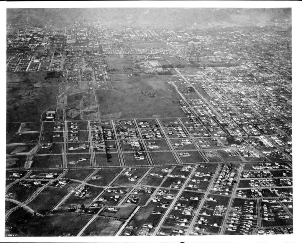
In 1885, a syndicate of real estate investors called the Windsor Square Land Development Company bought 200 acres from John and Cecilia Plummer. These two hundred acres are the area that today is between Wilshire and Beverly, Plymouth and Bronson.
In 1911, that group sold the land to the Windsor Square Investment Company, which began the subdivision process. To the west, the Hancock Park subdivision, from Rossmore to Highland, did not start until about 1921.
The protection of the single-family nature of the area always has been a primary concern of the families that purchased the lots and homes in the tracts of Windsor Square. To protect their interests, residents banded together in 1925 as the Windsor Square Association.
One of the neighborhood’s biggest challenges came in the early 1950’s. Oilman J. Paul Getty assembled about a dozen lots and houses — all but one of the properties in the block between Irving and Lorraine — from Wilshire to Sixth Street and announced his intention to demolish all the homes and build for Getty Oil Company an 18-story high-rise world headquarters. Under the leadership of Windsor Square Association members Edward D. Lyman, John V.H. Challiss, Admiral Pace, and Hugh Evans, residents assessed themselves to fund litigation against the Getty interests. The result was a much lower office building and the preservation of most of the block’s Windsor Square houses (one of which, years later, was given to the City by Getty Oil to become the Mayor’s official residence, Getty House).
After a period of dormancy, Jack Challiss and Knox Farrand revived the Association in the early 70’s, recruiting Marcus E. Crahan to become president. Marcus was succeeded by Michael A. Cornwell, Jane Ellison Usher, Carolyn Ramsay, Mike Genewick and, in 2010, our current president Larry Guzin.
The revitalized Windsor Square Association has taken on many projects to protect and enhance the quality of life for the residents of Windsor Square including the planting of over 900 street trees, the Larchmont Median, leading the efforts for historic preservation and the development of the Park Mile Specific Plan which protects Wilshire-adjacent single-family residential neighborhoods from unchecked development.
A more complete history of Windsor Square and the Windsor Square Association can be found here or in the Windsor Square Preservation Plan. A further history of Windsor Square can be viewed on the Historic Los Angeles page for Windsor Square.